
Let’s Discuss India’s Lakes on this World Lake Day
As a result of the Bandung Sprit Water Summit in Bali, Indonesia, the UN General Assembly, on December 12th, 2024, passed a resolution to designate August 27th as World Lake Day. Why? Because lakes and reservoirs are a critical buffer against floods and droughts, and they are also crucial to maintaining precious aquatic ecosystems. Lakes play a vital role in adapting to climate change and supporting a healthy water cycle. This marks the third year of global celebrations honoring lakes and their role in human life. Given the increasing frequency of floods in India, it is important for us to understand the position of lakes within the context of Indian water governance.
Let us understand lakes in the context of Indian water governance: what is costing us by ignoring them, and what possible solutions can we start with.
What is a lake, according to the people who study them
Strip away the postcard image, and limnologists, scientists who study inland waters, define a lake simply: a relatively large, slow-moving or standing body of water occupying an inland basin, distinct from a river by its lack of continuous flow, and distinct from a pond mainly by scale and depth. The field itself, limnology, was formalized in the late 19th century by the Swiss scientist François-Alphonse Forel, and textbooks in the discipline are candid about one thing: no single, universally agreed line separates a “pond” from a “lake.” Some researchers use light penetration to the lakebed, some use depth thresholds, many simply fall back on size.
What is agreed on is scale and scarcity. Roughly 304 million standing water bodies exist on Earth, and about 91% are smaller than a hectare. Despite that abundance, freshwater lakes hold only about 0.009% of all the water on the planet, a rounding error in the hydrosphere that nonetheless sustains a disproportionate share of the world’s biodiversity, drinking water, and flood resilience.
How India classifies its lakes
India’s lakes are usually sorted by how they formed, not by a legal test:
- Tectonic lakes -created by movements in the Earth’s crust (Wular Lake, Loktak Lake)
- Glacial lakes – carved by melting glaciers, mostly in the Himalayan belt (Pangong Tso, Tso Moriri, Dal Lake)
- Oxbow/riverine lakes – cut off from a meandering river’s old course (common across the Indo-Gangetic plains)
- Crater/volcanic lakes – formed in impact or volcanic depressions (Lonar Lake, Maharashtra)
- Lagoon lakes – separated from the sea by a sandbar or spit (Chilika, Pulicat, Vembanad)
- Karst/solution lakes – formed by limestone dissolution (parts of Meghalaya)
- Artificial lakes/reservoirs – created by damming a river (Gobind Sagar, Shivaji Sagar, Indira Sagar, Nagarjuna Sagar)
This is a scientific classification, not a legal one – and that distinction matters more than it should.
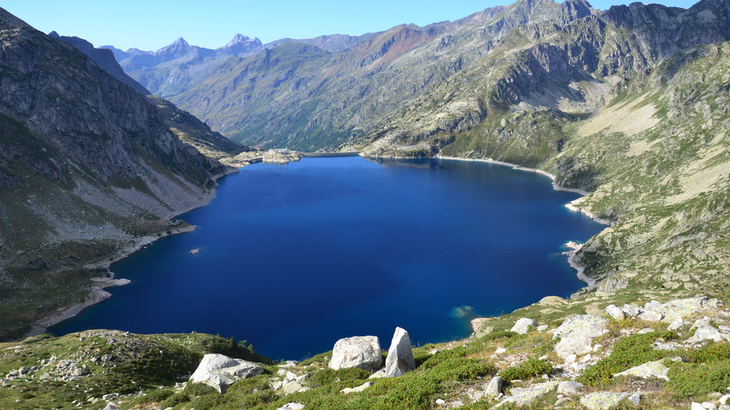
The legal definitions: tank, wetland, lake and what about a dam-made lake?
India has three overlapping administrative terms in play, and none of them line up neatly with the scientific one.
Tank is mostly a matter of local convention and size. The Ministry of Jal Shakti’s Water Bodies Census defines it loosely by scale relative to a pond, and several states set their own numeric threshold – West Bengal’s Fisheries Act, for instance, defines a water body as anything 0.035 hectares or larger. There is no single national size cutoff.
Wetland is the closest thing India has to a governing legal category, defined under Rule 2(g) of the Wetlands (Conservation and Management) Rules, 2017, issued by the environment ministry under the Environment (Protection) Act, 1986. And this is where the real story starts: the 2017 Rules explicitly exclude human-made water bodies or tanks built specifically for drinking water, along with structures built for aquaculture, salt production, recreation, and irrigation. The 2010 Rules that preceded them included man-made wetlands with no such exception. That single redefinition is estimated to have stripped statutory protection from roughly 65% of India’s catalogued wetlands overnight – most of them exactly the kind of community tanks and constructed lakes that dot the Indian landscape.
Lake, on paper, isn’t separately defined at all. Government guidance for the National Plan for Conservation of Aquatic Ecosystems simply distinguishes a lake from a wetland by depth and permanence – a lake being the deeper, more perennial cousin and folds both under the same “aquatic ecosystems” umbrella for conservation purposes. There is no standalone Lakes Act.
So, are dam-made lakes – lakes? Scientifically, yes, without question: “artificial lake” and “reservoir” are used interchangeably in limnology, and India’s own geography syllabus lists Gobind Sagar and Shivaji Sagar as lakes formed by dams. Legally, it’s murkier. The government’s own Water Bodies Census keeps “reservoirs” and “lakes” as separate categories rather than treating dam-created water bodies as lakes – and given that the 2017 Wetlands Rules specifically carve out water bodies built for irrigation, most reservoirs built primarily for irrigation or drinking water would likely fall outside statutory wetland protection too, though this hasn’t been squarely tested in court the way the broader exclusion has. In effect: a dam creates a lake in every sense a hydrologist would recognize, but the moment it’s classified as built “for” irrigation or drinking water, the law may treat it as infrastructure rather than ecosystem.
This exclusion is currently before the Supreme Court. A petition has argued that Rule 2(g) violates India’s commitments under the Ramsar Convention – which protects natural and artificial wetlands without distinction, and that the exclusion puts 39 of India’s 94 internationally recognized Ramsar wetlands at risk of losing protected status. The Court has issued notice and agreed to examine the rule’s validity.
Why lakes sit inside the Wetlands Rules instead of their own law
There’s a practical history here, not just a bureaucratic accident. Until 2013, India ran two separate central schemes, the National Wetlands Conservation Programme for wetlands, and the National Lake Conservation Plan for lakes, funding overlapping restoration work through different administrative channels. The environment ministry merged them into the National Plan for Conservation of Aquatic Ecosystems specifically to reduce duplication and improve coordination between similar restoration activities: desilting, catchment treatment, sewage interception, shoreline protection.
There’s also a constitutional constraint underneath that administrative choice. Water is a State List subject in India, which means the Centre has limited room to legislate directly on water bodies, it can issue rules under existing environmental law (the Environment Protection Act, 1986) far more easily than it can pass a new standalone central Act governing lakes specifically, which would likely require the same complex Centre-State negotiation that has slowed comprehensive river-basin legislation for decades. Folding lakes into the Wetlands Rules was the path of least constitutional resistance, efficient administratively, but it also means lakes inherited every definitional weakness the Wetlands Rules carry, including the 2017 exclusion.
How many lakes does India have?
The honest answer is it depends which government dataset you ask.
The Ministry of Jal Shakti’s first Census of Water Bodies (2018–23), the most granular national count available, enumerated 2.4 million water bodies nationwide, of which only 22,361, or 0.9%, were categorized specifically as “lakes.” Tanks, ponds, reservoirs and check dams made up the rest. Separately, the Space Applications Centre’s National Wetland Atlas mapped 201,503 wetlands (a broader category than “lakes” alone) covering 14.7 million hectares, and 72% of that number is man-made.
Among India’s most significant named lakes: Vembanad (Kerala) is the country’s largest lake overall; Wular (Jammu & Kashmir) is the largest freshwater lake; Chilika (Odisha) is Asia’s largest brackish-water lagoon; Sambhar (Rajasthan) is India’s largest inland salt lake; Loktak (Manipur) is famous for its floating phumdi islands; and Dal Lake (Srinagar), Nainital (Uttarakhand), and Hussain Sagar (Hyderabad) round out the list of lakes most Indians would recognise by name.
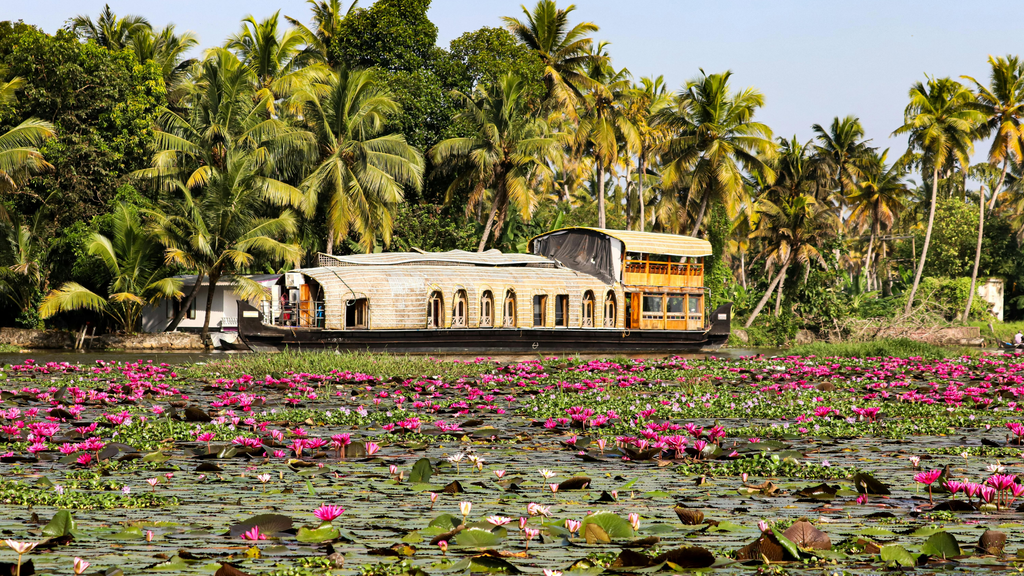
What’s being lost
The scale of decline is easiest to see state by state. Jammu & Kashmir has lost 518 of its original 697 lakes, a collapse of roughly 74%. In Bengaluru, of the 837 lakes tracked across the urban district, 730 have been encroached upon by buildings and concrete, leaving almost no space for rainwater to settle or percolate. The city once had more than 1,000 interconnected lakes forming a single rainwater-harvesting network; Hyderabad, similarly, was once home to over 3,000 lakes, most now lost to sewage inflow, garbage dumping, and construction.
Lakes were India’s flood insurance, and cities have been cashing it out
Here is the part that should worry every urban planner, not just conservationists: India’s rainfall is changing shape. Research shows a threefold increase in excessive rainfall events across central India since 1950, and cities are now routinely seeing rainfall intensities their infrastructure was never built for. Mumbai’s storm drains, designed in the 1860s for 25 mm of rain an hour, now regularly face bursts exceeding 100 mm an hour, while the city has lost roughly 80% of its water bodies in the last 40 years. Delhi’s drainage system, planned in 1976 for 50 mm a day, recorded 185.9 mm in a single day in 2023.
This is not a coincidence of two unrelated trends. Lakes and wetlands are natural flood buffers, they absorb short, intense bursts of rain and release them slowly, which is precisely the kind of rainfall climate change is making more common. Every lake that gets filled in for a housing project or a road is a piece of flood infrastructure that a city now must try to replace with concrete drains, drains that, as Mumbai and Delhi show, are already losing that fight.
Who is watching India’s lakes, and how to see the data yourself
Monitoring is split across agencies with narrow, non-overlapping mandates, and the coverage gap is stark once you look at the numbers.
The Central Pollution Control Board’s National Water Quality Monitoring Programme (NWMP) is India’s primary water-quality monitoring network, 4,736 stations across 28 states and 8 union territories, sampling for parameters like dissolved oxygen, biochemical oxygen demand, and coliform bacteria, at a frequency ranging from monthly to yearly depending on the site. Out of those thousands of stations, only around 117 sit on lakes, a strikingly small share given how many thousands of lakes the country has. The data is public and downloadable at cpcb.nic.in/nwmp-data
The Central Water Commission separately monitors 2,843 glacial lakes using satellite data, but that programme exists purely for disaster preparedness, tracking Glacial Lake Outburst Flood risk in the Himalayas, and has nothing to do with ecological health or pollution in the plains and urban lakes most Indians live nearby.
India-WRIS (indiawris.gov.in), run by the National Water Informatics Centre under the Jal Shakti ministry, is the most useful public portal for combined surface and groundwater quality data, while Bhuvan (bhuvan-app1.nrsc.gov.in), ISRO’s geospatial platform, publishes satellite-based water-spread-area mapping that can show a lake shrinking over time, even where no one is testing what’s in the water.
Each of these is genuinely open to the public. None of them, alone or together, adds up to a system that watches over India’s lakes.
The gaps, laid out plainly
Pull the threads together and four gaps stand out:
- Definitional gap, the law that’s supposed to protect wetlands (and by extension lakes) explicitly excludes most human-made water bodies, which describes a huge share of India’s actual lakes and tanks.
- Monitoring gap, of thousands of lakes nationally, only about 117 sit on a national water-quality monitoring network built primarily around rivers.
- Enforcement gap, even where State Pollution Control Boards are legally responsible for monitoring, audits have repeatedly found them failing to track water quality or enforce existing tribunal orders against polluting industries.
- Ownership gap, no single agency is accountable for a lake’s survival end-to-end; census-takers count lakes, satellites map them, pollution boards are meant to sample them, and none of these functions talk to each other or trigger action when a lake starts dying.
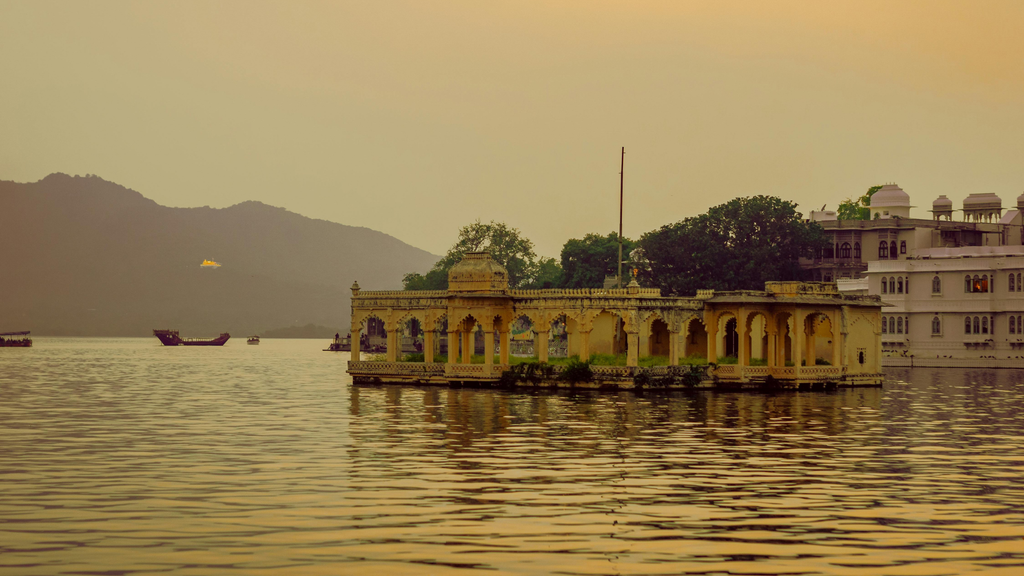
Where integrated, community-led water management can make a difference
Every one of these gaps ultimately requires action at the local level. While policies, monitoring systems, and institutions provide an important framework, the long-term health of a lake or water body also depends on how effectively its catchment is managed, how water is used, and how local communities participate in its protection and maintenance.
Alternative Development Initiatives (ADI’s) experience through integrated water resource and watershed management programmes shows that rejuvenating a lake, pond, or reservoir cannot be limited to treating the water body alone. Its health is closely linked with the condition of its catchment, drainage patterns, sediment movement, groundwater system, land use, and the water needs of surrounding communities.
Accordingly, interventions need to begin with a scientific understanding of the water body and its wider hydrological setting. Depending on site-specific conditions, this may include desilting and restoration of storage capacity, catchment and erosion-control measures, groundwater recharge and rainwater-harvesting interventions, water budgeting, and regular monitoring of water availability and groundwater response.
Equally important is strengthening community participation throughout the process. Building local understanding of water availability, supporting community institutions, developing systems for operation and maintenance, and encouraging responsible water use can help ensure that physical interventions continue to deliver benefits over the long term.
World Lake Day is therefore an opportunity not only to focus on the restoration of individual lakes, but also to recognise them as part of larger watersheds and water-security systems. Combining scientific planning, catchment-level action, community ownership, and long-term monitoring can help create more resilient and sustainable water resources.
ADI works with communities across India to translate this kind of integrated approach into practice, one lake, pond, and watershed at a time, and would welcome the chance to exchange notes with others thinking about water-body rejuvenation.
Sources for further reading:
- CPCB National Water Quality Monitoring Programme data: cpcb.nic.in/nwmp-data
- India-WRIS (surface & groundwater quality): indiawris.gov.in
- Bhuvan water body mapping (ISRO/NRSC): bhuvan-app1.nrsc.gov.in
- Wetlands (Conservation and Management) Rules, 2017, Ministry of Environment, Forest and Climate Change
- Water Bodies – First Census Report, Ministry of Jal Shakti (2023)